Survey information for commercial property transactions, with boundaries, easements, and improvements addressed within the agreed scope. Share your title documents and transaction requirements with us.
Explore alta/nsps surveysIn the 1840s, Samuel Reid surveyed lands in the Manatee and Sarasota region. A. M. Randolph surveyed township lines in present-day Pinellas County in 1841. Richard E. Paulson and Lewis Colson helped lay out Sarasota in the 1880s; St. Petersburg’s 1888 town map credits A. L. Hunt and G. A. Miller. Today, Apex Geomatics provides the survey information property owners, architects, engineers, and developers need to plan, design, and build what comes next.
request a quoteFlorida land surveying business license LB8649

what do you need a survey for?
a property boundary ↗a design project ↗a commercial transaction ↗a construction project ↗Apex Geomatics LLC provides land surveying, laser scanning, and aerial photography for property owners, architects, engineers, and developers. Our surveyors have been surveying in Florida for over 20 years.
We serve projects across Manatee County, Sarasota County, Pinellas County, Hillsborough County, and Charlotte County. Whether you are buying a property, planning improvements, designing a site, or coordinating construction, we discuss the information your project needs and define the survey scope with you.
WHAT WE DO
Survey information for commercial property transactions, with boundaries, easements, and improvements addressed within the agreed scope. Share your title documents and transaction requirements with us.
Explore alta/nsps surveys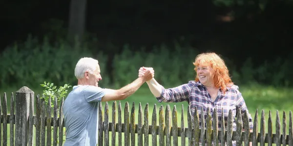
Locate property boundaries for purchases, fences, renovations, and other improvements. Share your intended use so we can define the appropriate survey scope.
Explore boundary surveys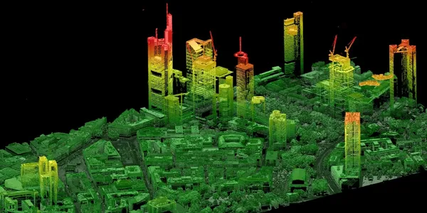
Terrain elevations and existing site features for architectural and engineering design. We coordinate survey limits, required features, and digital deliverables with your project team.
Explore topographic surveys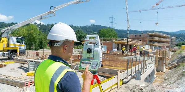
Construction layout, foundation/spot surveys, and final as-built surveys, with support for other construction-related surveying tasks. We coordinate the required fieldwork and survey information with your project team.
Explore construction & as-built surveys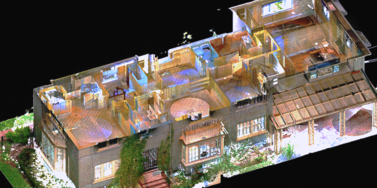
Our laser scanning service delivers a detailed point cloud of the scanned site or structure. Share the project location, area to be scanned, and intended use so we can discuss the scope.
Explore laser scanning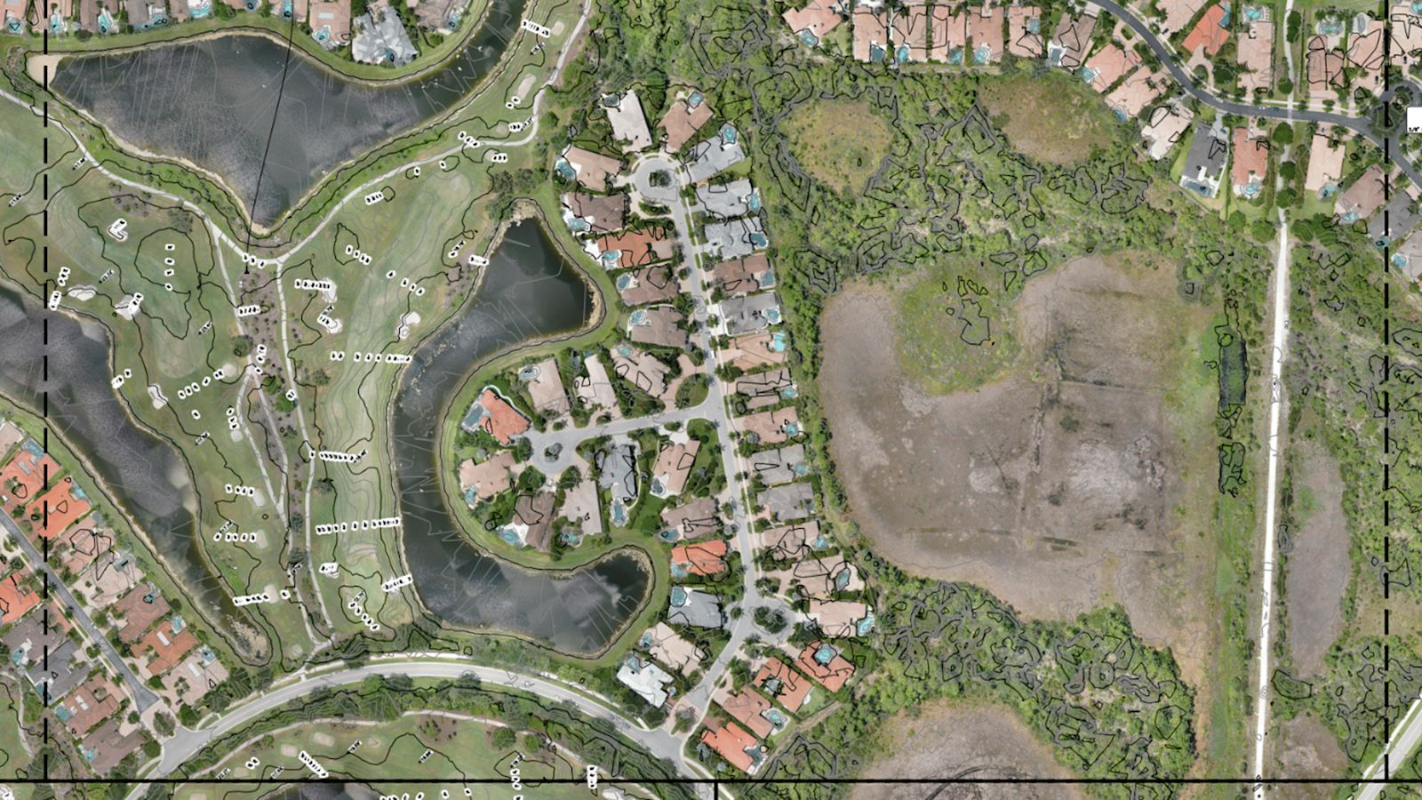
We provide survey-grade, georeferenced digital orthophotos and 3D terrain models for planning, design, construction, site documentation, and other project needs. We tailor the scope and deliverables to how you intend to use the data.
Explore aerial photography
Apex Geomatics provides FEMA elevation certificates. Share the property location and any certificate requirements so we can discuss the scope and timing.
explore FEMA elevation certificateswhere we work
Serving Manatee County, Sarasota County, Pinellas County, Hillsborough County, and Charlotte County.
from inquiry to fieldwork
Share the location, intended use, and desired schedule. Include any plans or existing documents you have.
We review the request with you and discuss the survey requirements, proposed deliverables, and scheduling.
Once the proposal is agreed, we coordinate the next steps for your project.
LET’S GET STARTED
Use the quote form to share your property details, service needs, and preferred schedule. We’ll review your request and follow up to discuss the scope and next steps.
Share the property address or parcel ID, how you plan to use the survey, any available plans, and your preferred timeframe. Not sure which survey you need? We can discuss it with you.
Your request goes to Apex Geomatics. Sending this form does not book a survey. Need help? Email us.
Serving Manatee, Sarasota, Pinellas, Hillsborough, and Charlotte counties.
A proud member of the Manatee Chamber of Commerce.