← all surveying servicessite information.
Topographic Surveys
site information.
ready for design.
Information about terrain and existing site features for architects, engineers, property owners, and design teams.
request a quote ↗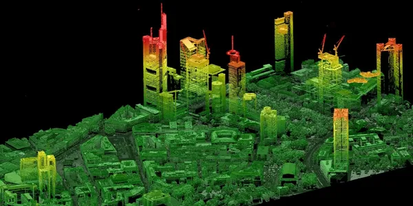
the right scope
for your project.
Our topographic surveys describe natural and man-made features and provide terrain information for project planning. We discuss the survey limits, features, and required digital deliverables with your team before defining the scope.
For design teams and property owners planning changes to a site.
when to get in touch
- Preparing information for architectural or engineering design
- Understanding elevations and existing site features
- Coordinating the survey scope with a proposed project
what to share with us
- The site location and proposed project area
- The features and elevation information your designer needs
- Any requested digital file format or delivery requirements
your questions, answered.
What should my architect or engineer provide?
Their survey requirements, project limits, and requested deliverables help us prepare an appropriate scope. You can attach these to your inquiry.
Can I request a digital terrain model?
Yes. Include the required format and intended use in your request so we can confirm the proposed deliverables.